FIELD NOTES / DZA / Northern Africa
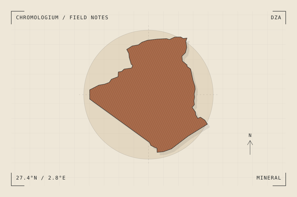
Algeria
Fortified ruins & repeated prayer bays.
START WITH A PLACE
Al Qal'a of Beni Hammad
Al Qal’a of Beni Hammad preserves the remains of an early Hammadid capital in a mountainous setting. Its mosque and fortifications offer related studies of repeated interior bays and outer enclosure.
Read the source UNESCO World Heritage CentreA CLOSER LOOK
A study in mass and surface.
Compare the regularity of a prayer-hall plan with the irregular terrain around the city. Where does construction follow a system, and where does it adapt?
An editorial observation prompt, grounded in the reference above.
WORKING COLOUR
A palette to begin with.
Five editorial tones for this surface family. Use them as a starting point for a study; they are not measured samples from the site.
Limestone paper#eee7d8oklch(0.929 0.021 85.945)
Warm sediment#c6ad86oklch(0.760 0.060 78.678)
Earth ochre#a36545oklch(0.568 0.092 47.550)
Weathered slate#657d79oklch(0.569 0.029 184.084)
Carbon ink#282b2boklch(0.286 0.004 196.917)