FIELD NOTES / BLZ / Central America
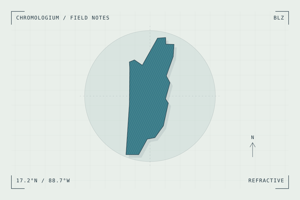
Belize
Reef edges, cays & coastal lagoons.
START WITH A PLACE
Belize Barrier Reef Reserve System
The Belize Barrier Reef system connects reefs, atolls, sand cays, mangroves and lagoons. It is a reference for layered coastal boundaries rather than a source of building materials.
Read the source UNESCO World Heritage CentreA CLOSER LOOK
A study in light and depth.
Trace the successive edges between open water, reef and lagoon. Compare colour changes with changes in depth and habitat.
An editorial observation prompt, grounded in the reference above.
WORKING COLOUR
A palette to begin with.
Five editorial tones for this surface family. Use them as a starting point for a study; they are not measured samples from the site.
Cloud white#e9efeaoklch(0.946 0.009 150.687)
Water grey#afc9c7oklch(0.816 0.028 190.955)
Deep teal#397b88oklch(0.545 0.070 212.299)
Mineral gold#c1a66aoklch(0.735 0.084 86.155)
Deep water ink#253944oklch(0.332 0.032 233.089)