FIELD NOTES / BFA / Western Africa
Burkina Faso
Stone enclosures & gold-trade routes.
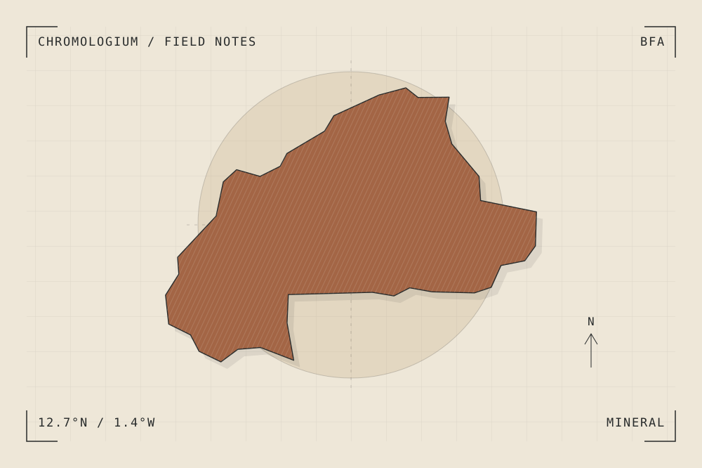
START WITH A PLACE
Ruins of Loropéni
Loropéni preserves substantial stone walls associated with a wider network of fortified enclosures. Its history is connected to regional gold production and trade, while much of the site remains archaeologically unresolved.
Read the source UNESCO World Heritage CentreA CLOSER LOOK
A study in mass and surface.
Compare the height of a surviving wall with the area it encloses. Mark gaps in the evidence rather than reconstructing a complete building from a fragment.
An editorial observation prompt, grounded in the reference above.
WORKING COLOUR
A palette to begin with.
Five editorial tones for this surface family. Use them as a starting point for a study; they are not measured samples from the site.
Limestone paper#eee7d8oklch(0.929 0.021 85.945)
Warm sediment#c6ad86oklch(0.760 0.060 78.678)
Earth ochre#a36545oklch(0.568 0.092 47.550)
Weathered slate#657d79oklch(0.569 0.029 184.084)
Carbon ink#282b2boklch(0.286 0.004 196.917)