FIELD NOTES / HND / Central America
Honduras
Maya plazas & carved stone.
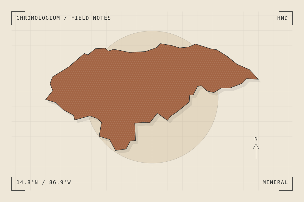
START WITH A PLACE
Maya Site of Copan
Copán’s citadel and public squares record successive phases of a Maya city. The relationship between built platforms, open space and carved monuments is central to reading the ensemble.
Read the source UNESCO World Heritage CentreA CLOSER LOOK
A study in mass and surface.
Compare the scale of a carved surface with the plaza that frames it. Keep inscriptions and figures connected to their archaeological interpretation.
An editorial observation prompt, grounded in the reference above.
WORKING COLOUR
A palette to begin with.
Five editorial tones for this surface family. Use them as a starting point for a study; they are not measured samples from the site.
Limestone paper#eee7d8oklch(0.929 0.021 85.945)
Warm sediment#c6ad86oklch(0.760 0.060 78.678)
Earth ochre#a36545oklch(0.568 0.092 47.550)
Weathered slate#657d79oklch(0.569 0.029 184.084)
Carbon ink#282b2boklch(0.286 0.004 196.917)