FIELD NOTES / KGZ / Central Asia
Kyrgyzstan
Sacred slopes & connected footpaths.
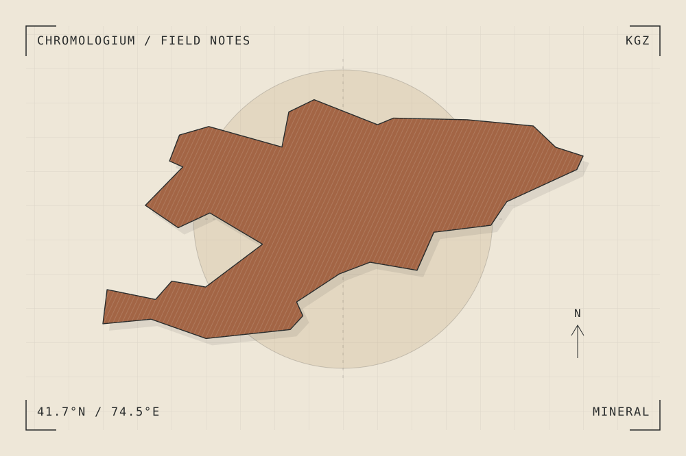
START WITH A PLACE
Sulaiman-Too Sacred Mountain
Sulaiman-Too rises above Osh and contains caves, places of worship and rock markings linked by paths. The mountain remains a living sacred landscape as well as an archaeological reference.
Read the source UNESCO World Heritage CentreA CLOSER LOOK
A study in mass and surface.
Draw a path as a sequence of pauses, slopes and entrances. How does movement reveal a mountain differently from a distant silhouette?
An editorial observation prompt, grounded in the reference above.
WORKING COLOUR
A palette to begin with.
Five editorial tones for this surface family. Use them as a starting point for a study; they are not measured samples from the site.
Limestone paper#eee7d8oklch(0.929 0.021 85.945)
Warm sediment#c6ad86oklch(0.760 0.060 78.678)
Earth ochre#a36545oklch(0.568 0.092 47.550)
Weathered slate#657d79oklch(0.569 0.029 184.084)
Carbon ink#282b2boklch(0.286 0.004 196.917)