FIELD NOTES / MDA / Eastern Europe
Moldova
Survey points & measured distance.
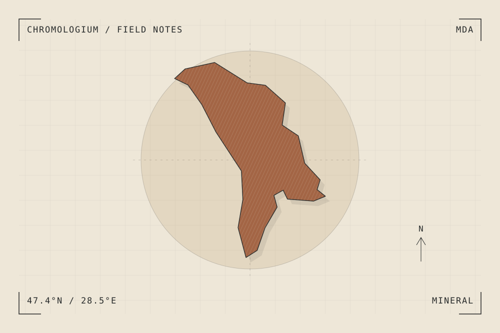
START WITH A PLACE
Struve Geodetic Arc
The Struve Geodetic Arc is a chain of survey points extending across ten countries, including Moldova. Its physical markers connect small interventions in the ground to the measurement of the planet.
Read the source UNESCO World Heritage CentreA CLOSER LOOK
A study in mass and surface.
Compare the modest scale of a survey marker with the triangle it helps define. Draw measurement as a relationship between distant places.
An editorial observation prompt, grounded in the reference above.
WORKING COLOUR
A palette to begin with.
Five editorial tones for this surface family. Use them as a starting point for a study; they are not measured samples from the site.
Limestone paper#eee7d8oklch(0.929 0.021 85.945)
Warm sediment#c6ad86oklch(0.760 0.060 78.678)
Earth ochre#a36545oklch(0.568 0.092 47.550)
Weathered slate#657d79oklch(0.569 0.029 184.084)
Carbon ink#282b2boklch(0.286 0.004 196.917)