FIELD NOTES / MMR / South-Eastern Asia
Myanmar
Brick stupas & water-managed cities.
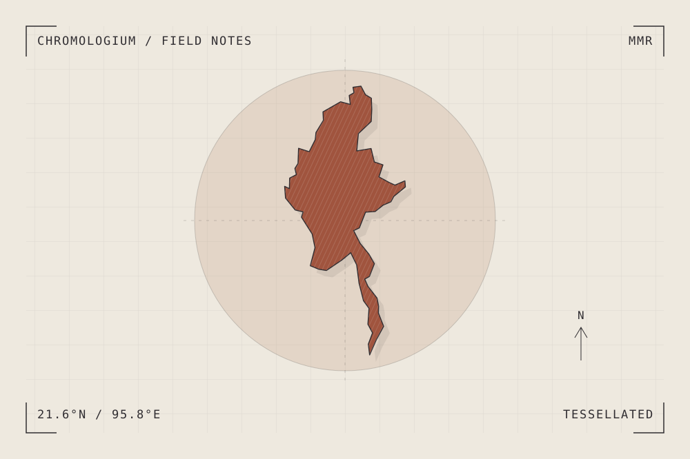
START WITH A PLACE
Pyu Ancient Cities
The Pyu cities of Halin, Beikthano and Sri Ksetra combine brick monuments with walls, moats and irrigation landscapes. Their remains connect urban organization to the management of agricultural water.
Read the source UNESCO World Heritage CentreA CLOSER LOOK
A study in units and repetition.
Compare a circular or curving enclosure with the smaller units of brick construction. Trace how water infrastructure extends beyond the monumental centre.
An editorial observation prompt, grounded in the reference above.
WORKING COLOUR
A palette to begin with.
Five editorial tones for this surface family. Use them as a starting point for a study; they are not measured samples from the site.
Slip white#eee9dfoklch(0.935 0.014 84.584)
Clay body#c6a389oklch(0.740 0.055 58.377)
Fired earth#a0543eoklch(0.532 0.106 36.996)
Glaze blue#487580oklch(0.534 0.052 214.983)
Kiln ink#302d31oklch(0.302 0.008 317.719)