FIELD NOTES / PNG / Melanesia
Papua New Guinea
Cultivation mounds & drainage lines.
START WITH A PLACE
Kuk Early Agricultural Site
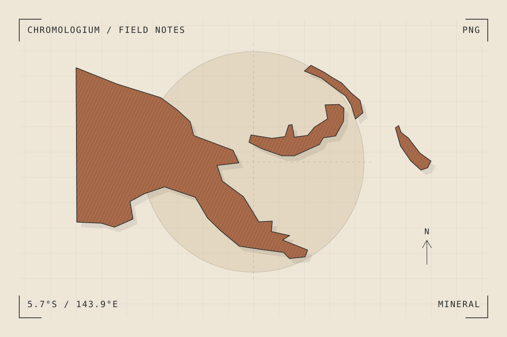
Kuk preserves evidence of long-term wetland cultivation in Papua New Guinea’s highlands. Archaeological traces of mounds and drainage ditches reveal landscape construction at the scale of water and soil.
Read the source UNESCO World Heritage CentreA CLOSER LOOK
A study in mass and surface.
Draw a section through a mound and ditch instead of a building. Consider how small changes of level can organize an entire cultivated surface.
An editorial observation prompt, grounded in the reference above.
WORKING COLOUR
A palette to begin with.
Five editorial tones for this surface family. Use them as a starting point for a study; they are not measured samples from the site.
Limestone paper#eee7d8oklch(0.929 0.021 85.945)
Warm sediment#c6ad86oklch(0.760 0.060 78.678)
Earth ochre#a36545oklch(0.568 0.092 47.550)
Weathered slate#657d79oklch(0.569 0.029 184.084)
Carbon ink#282b2boklch(0.286 0.004 196.917)