FIELD NOTES / RWA / Eastern Africa
Rwanda
Montane forest & peatland openings.
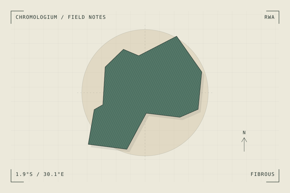
START WITH A PLACE
Nyungwe National Park
Nyungwe includes intact forest alongside peat bogs, moors and grasslands. The landscape offers a reference for changes in density, moisture and the structure of vegetation.
Read the source UNESCO World Heritage CentreA CLOSER LOOK
A study in grain and rhythm.
Compare the closed canopy with an open wetland patch. Describe the transition through texture and spacing rather than assigning one green to the whole forest.
An editorial observation prompt, grounded in the reference above.
WORKING COLOUR
A palette to begin with.
Five editorial tones for this surface family. Use them as a starting point for a study; they are not measured samples from the site.
Fibre paper#ece9dboklch(0.933 0.019 96.873)
Cut straw#c5b08aoklch(0.766 0.057 82.249)
Forest shade#4d7162oklch(0.517 0.048 166.710)
Thread ochre#bd8453oklch(0.660 0.096 60.682)
Grain ink#283630oklch(0.318 0.021 166.943)