FIELD NOTES / SLE / Western Africa
Sierra Leone
Rainforest layers & river islands.
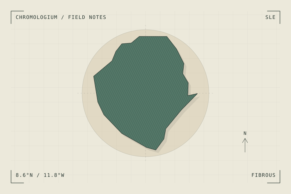
START WITH A PLACE
Gola-Tiwai Complex
The Gola-Tiwai Complex connects rainforest conservation with an island sanctuary. Its Upper Guinean forest setting offers a study of layered vegetation, river boundaries and changing degrees of enclosure.
Read the source UNESCO World Heritage CentreA CLOSER LOOK
A study in grain and rhythm.
Compare the vertical layering of a forest edge with the horizontal line of the river. Use overlap and density to describe depth before introducing detail.
An editorial observation prompt, grounded in the reference above.
WORKING COLOUR
A palette to begin with.
Five editorial tones for this surface family. Use them as a starting point for a study; they are not measured samples from the site.
Fibre paper#ece9dboklch(0.933 0.019 96.873)
Cut straw#c5b08aoklch(0.766 0.057 82.249)
Forest shade#4d7162oklch(0.517 0.048 166.710)
Thread ochre#bd8453oklch(0.660 0.096 60.682)
Grain ink#283630oklch(0.318 0.021 166.943)