FIELD NOTES / SSD / Eastern Africa
South Sudan
Seasonal floodplains & migration routes.
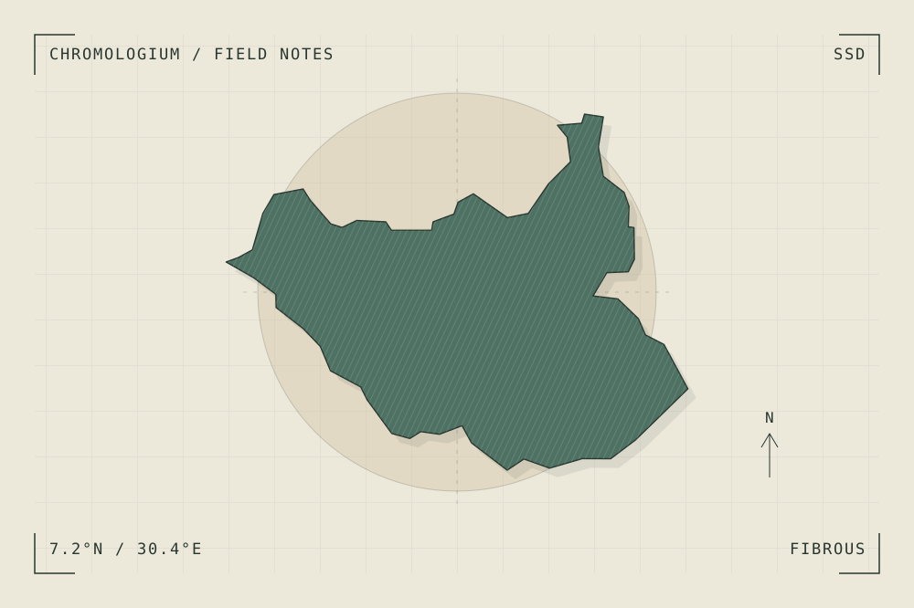
START WITH A PLACE
Boma–Badingilo Migratory Landscape
The Boma–Badingilo landscape connects wetlands, floodplains, woodland and savannah in South Sudan. Seasonal rainfall and flooding shape both its changing surfaces and large animal movements.
Read the source UNESCO World Heritage CentreA CLOSER LOOK
A study in grain and rhythm.
Compare a dry-season route with the expanded edge of a wetland. Draw the landscape as a changing set of connections instead of a fixed ground plane.
An editorial observation prompt, grounded in the reference above.
WORKING COLOUR
A palette to begin with.
Five editorial tones for this surface family. Use them as a starting point for a study; they are not measured samples from the site.
Fibre paper#ece9dboklch(0.933 0.019 96.873)
Cut straw#c5b08aoklch(0.766 0.057 82.249)
Forest shade#4d7162oklch(0.517 0.048 166.710)
Thread ochre#bd8453oklch(0.660 0.096 60.682)
Grain ink#283630oklch(0.318 0.021 166.943)