FIELD NOTES / PAK / Southern Asia
Pakistan
Indus urban plans & brick construction.
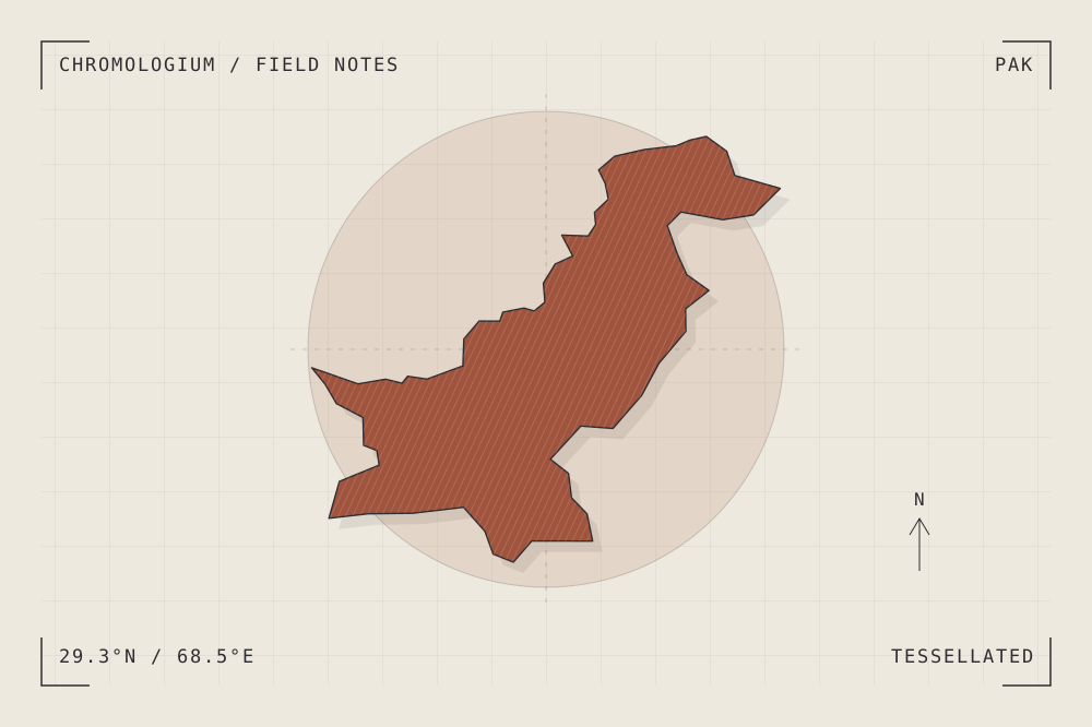
START WITH A PLACE
Archaeological Ruins at Moenjodaro
Moenjodaro preserves an early planned city in the Indus valley. Its raised areas, lower town and organized building layout provide a reference for reading urban systems through archaeological remains.
Read the source UNESCO World Heritage CentreA CLOSER LOOK
A study in units and repetition.
Compare a repeated brick unit with the repeated dimensions of rooms and streets. How does modular construction support a larger spatial order?
An editorial observation prompt, grounded in the reference above.
WORKING COLOUR
A palette to begin with.
Five editorial tones for this surface family. Use them as a starting point for a study; they are not measured samples from the site.
Slip white#eee9dfoklch(0.935 0.014 84.584)
Clay body#c6a389oklch(0.740 0.055 58.377)
Fired earth#a0543eoklch(0.532 0.106 36.996)
Glaze blue#487580oklch(0.534 0.052 214.983)
Kiln ink#302d31oklch(0.302 0.008 317.719)